Index maps
NDVI for overall canopy, and NDRE for the stress NDVI misses in a dense crop.
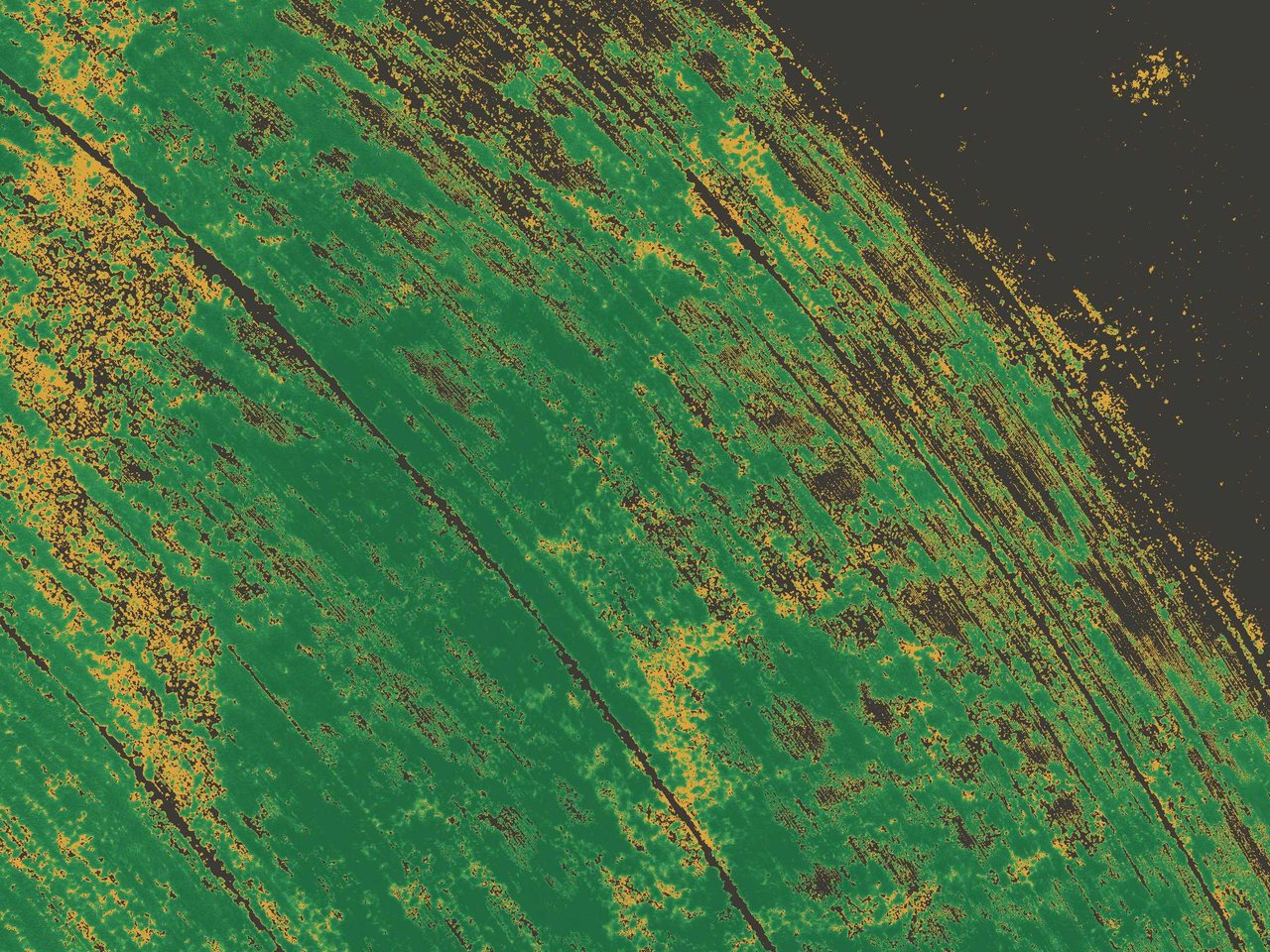
You getFalse-color maps of every field, with stressed areas flagged in amber.
Services
Flights by an FAA Part 107 certified pilot, anywhere in the US. Every job ends with maps and files you keep.
Multispectral imagery shows plant stress before it shows from the road.
NDVI for overall canopy, and NDRE for the stress NDVI misses in a dense crop.
You getFalse-color maps of every field, with stressed areas flagged in amber.
Under-watered edges, thin stands, weeds and wheel-track damage, measured instead of guessed.
You getA short list of the spots worth a visit.
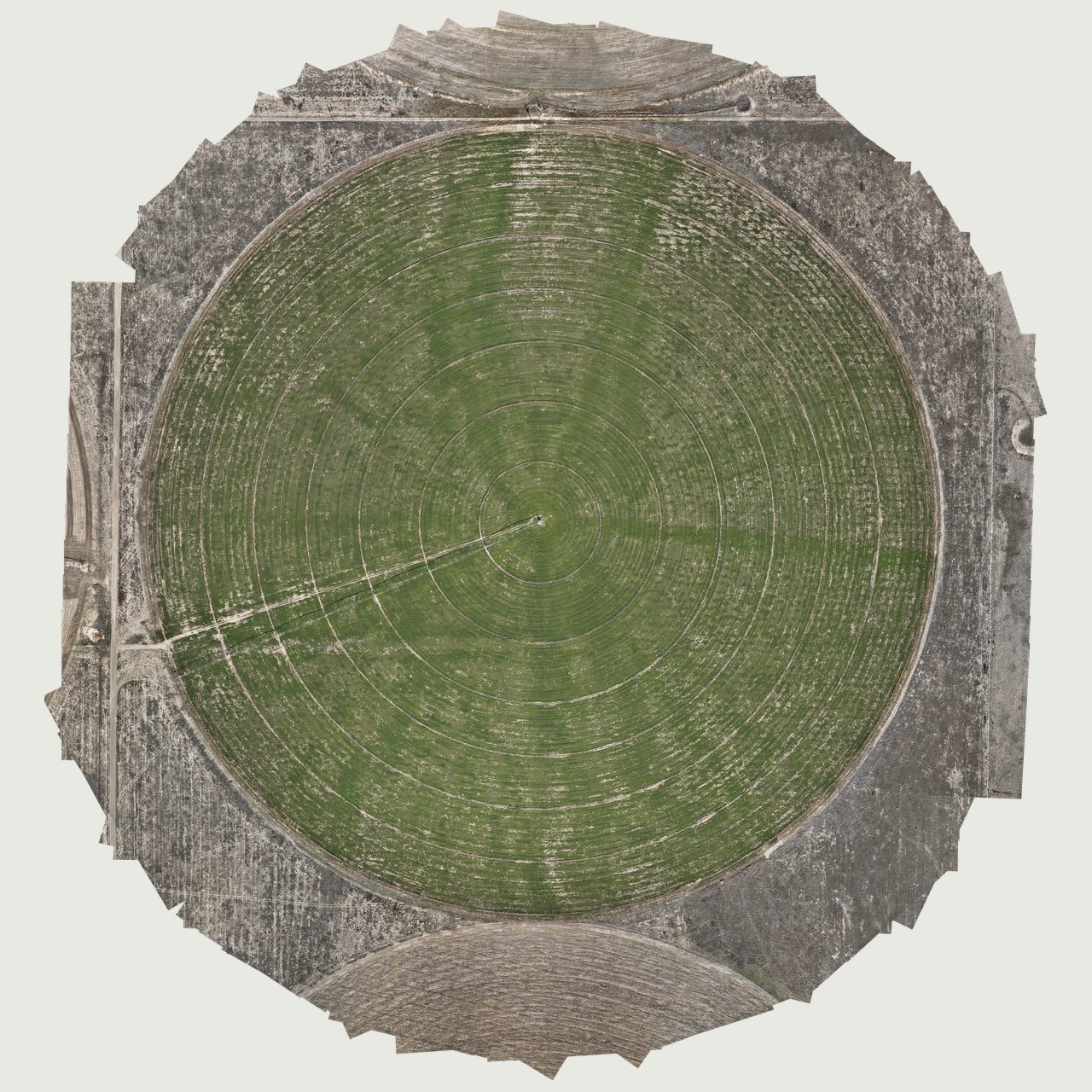
Hundreds of overlapping photos stitched into one accurate, georeferenced map.
True-color maps of single fields or a whole operation, at about 1.3 inches per pixel.
You getGeoTIFF maps that load into most farm and GIS software.
The same fields flown again through the season, lined up so changes are easy to see.
You getA season of maps you can compare.
Shot by the same pilot who maps your fields, so you can get both on one trip.
Wide shots of the operation, equipment and harvest, plus clean overhead views of every field.
You getEdited, full-resolution photos you own.
Smooth flyovers and harvest footage for your website, social posts and records.
You getEdited clips sized for web and social.
Every flight lands in one place your managers will actually open.
Maps by field and by date, viewable on a phone in the field, with nothing to install.
You getA private link for your team.
Raw imagery and processed maps in standard formats, plus a short walk-through with the people who use them.
You getEverything from the flight, yours to keep.
The kit
One aircraft carries both cameras, so mapping, photos and video happen on the same trip.
Start a project
Send a few lines about the crop, the fields and what you want to know. You'll get a reply from the pilot who flies it.